Qurtubah Masterplan Riyadh – Urban Design Concept
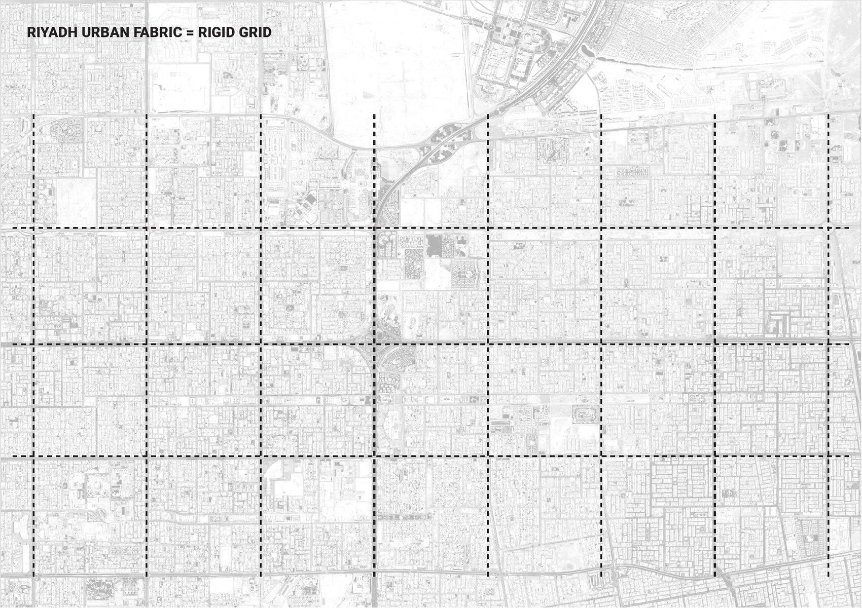
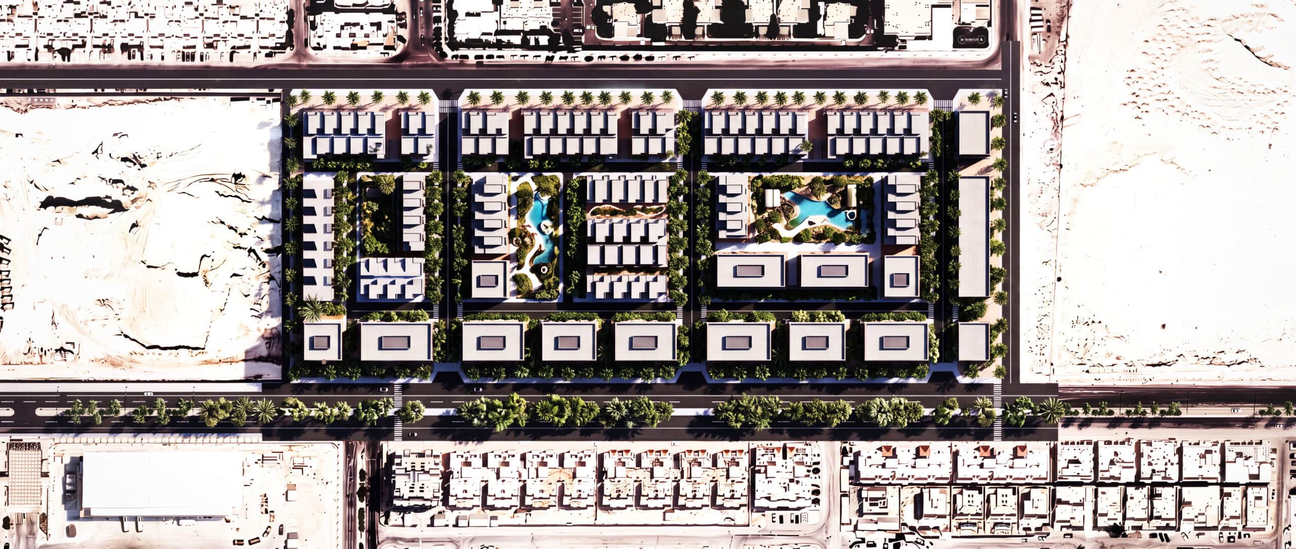
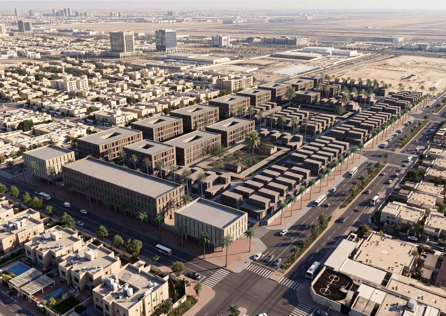
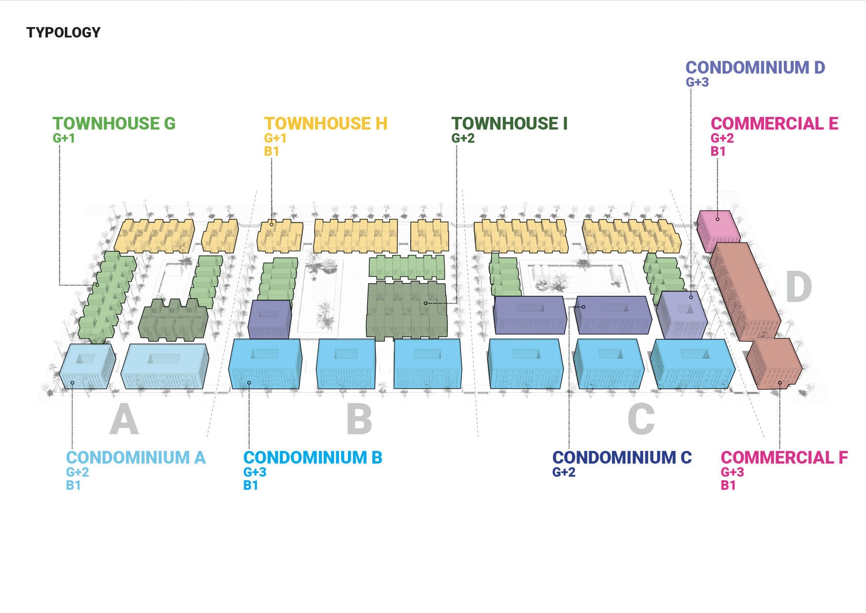
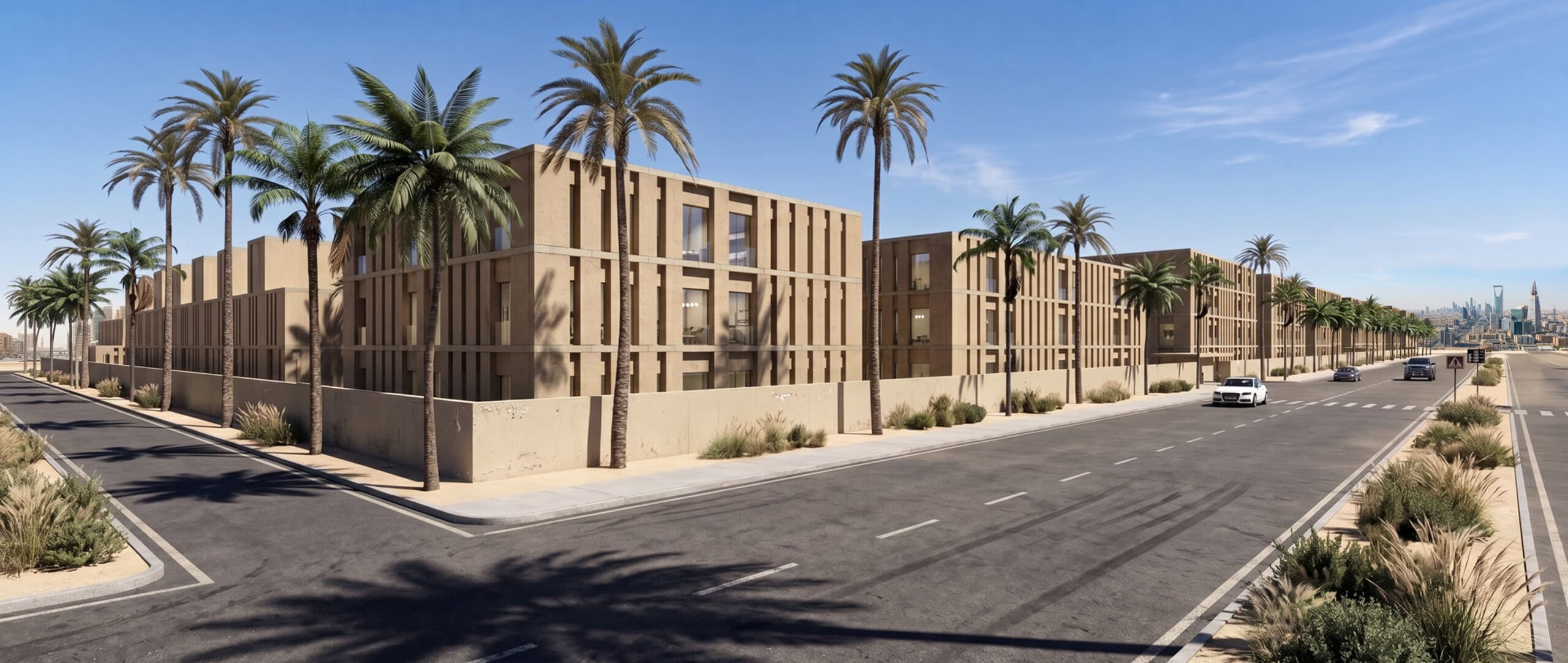
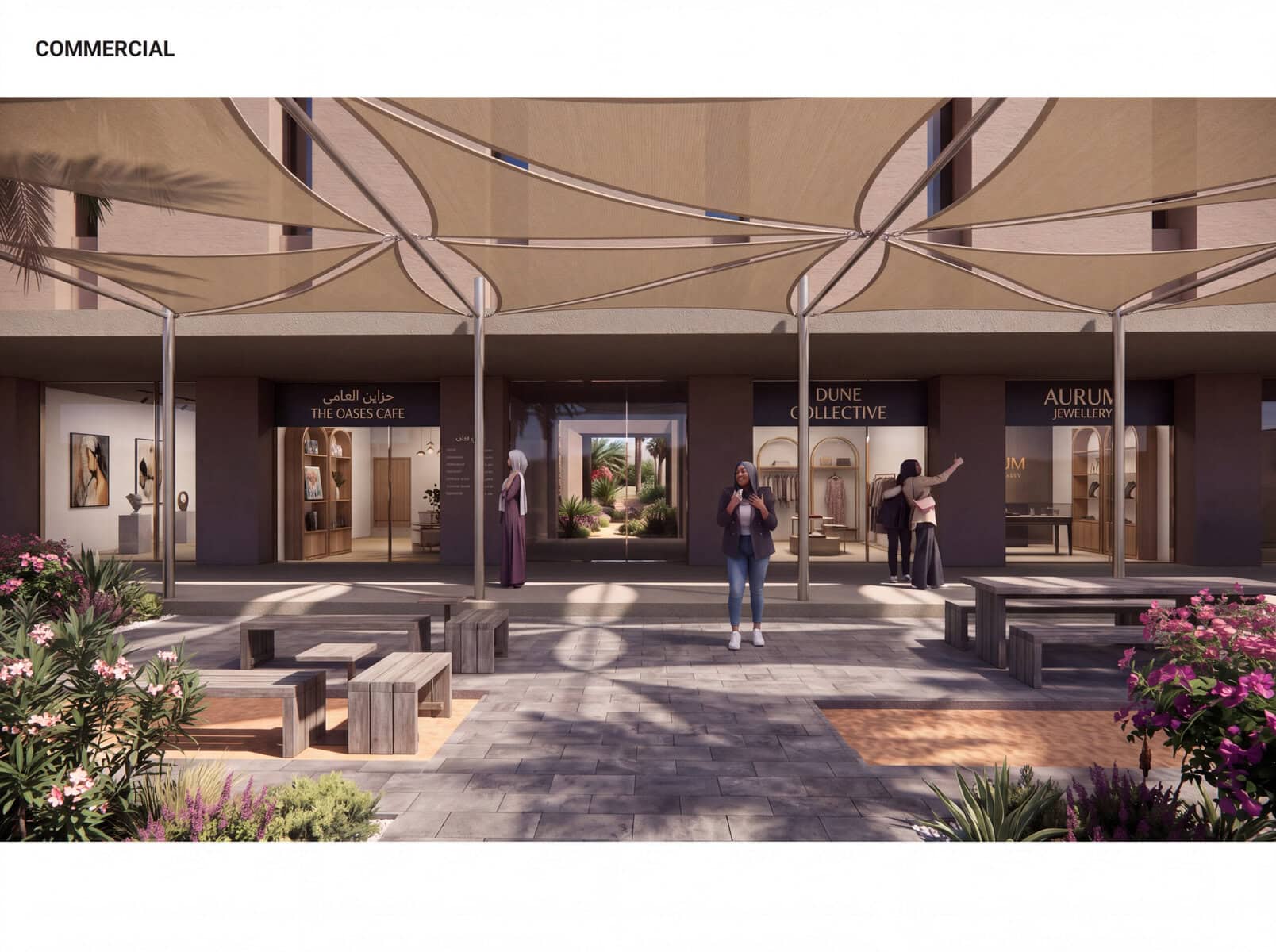
Riyadh grew through the logic of the grid: expansive, orthogonal and optimised for movement at the metropolitan scale, yet often fragmented at the scale of the pedestrian. The Qurtubah Masterplan Riyadh does not reject that order. It recalibrates it around the spaces, transitions and relationships of everyday life. Occupying a 61,800-square-meter site in Qurtubah, eastern Riyadh, the project brings together a dense mixed-use programme of apartments and townhouses, with retail and commercial uses activating the principal public edges. The challenge was not simply to accommodate density but to translate it into a legible urban fabric: viable at the scale of the development, coherent at the scale of the street and recognisable at the scale of the home. Three spatial operations structure the masterplan: gradient, offset and cluster.
Gradient: Density as Urban Sequence
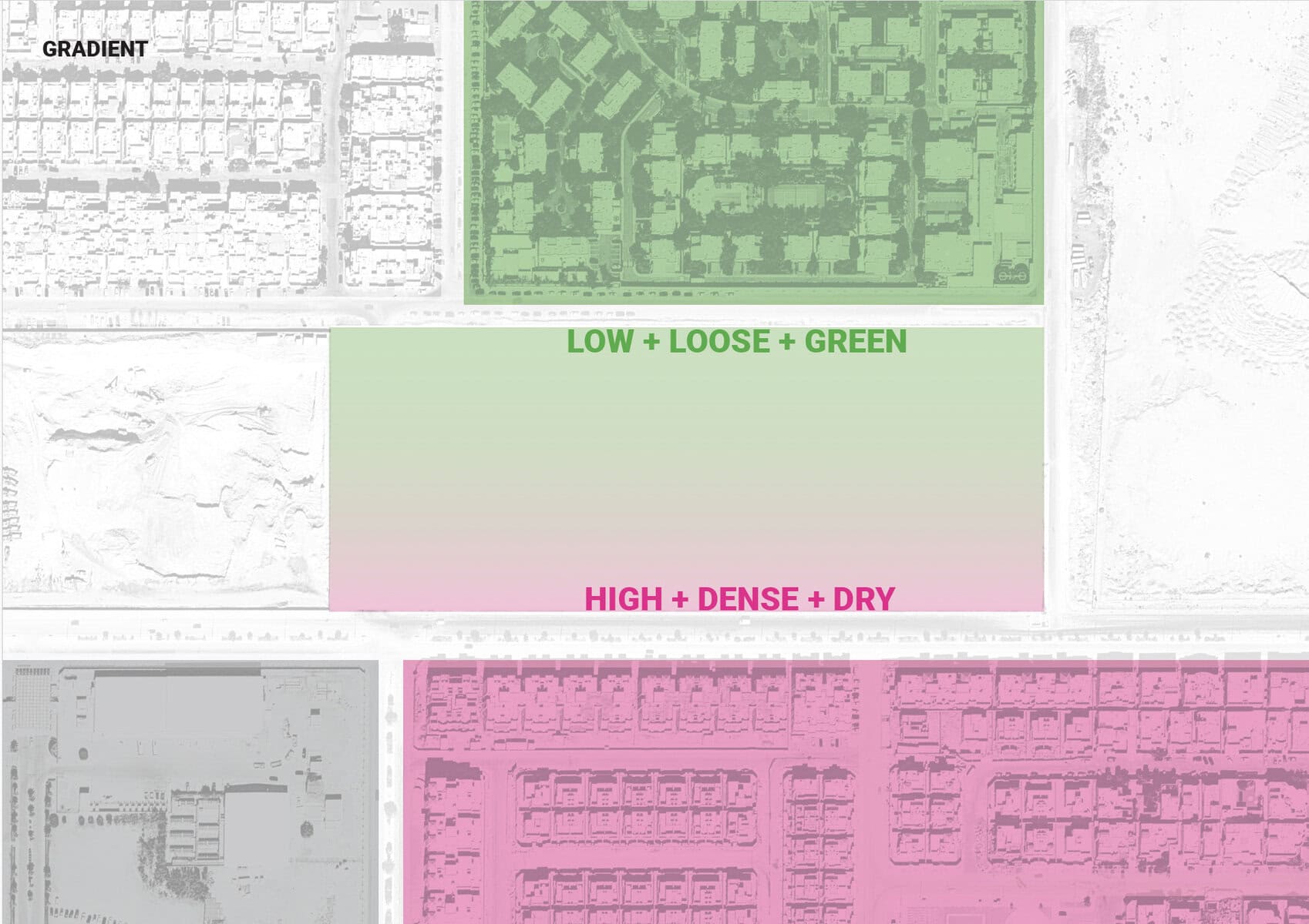
The first is gradient. Rather than distributing density uniformly across the site, the plan allows it to intensify progressively, from a lower, greener and more open residential edge in the south toward a denser commercial and mixed-use spine in the north. This gradient is not only formal, but it also choreographs the experience of arrival and orientation. Moving into the quarter, the scale shifts incrementally, each layer signaling a transition from the collective to the domestic, from the public to the private.
Offset: Building Geometry and Street Form
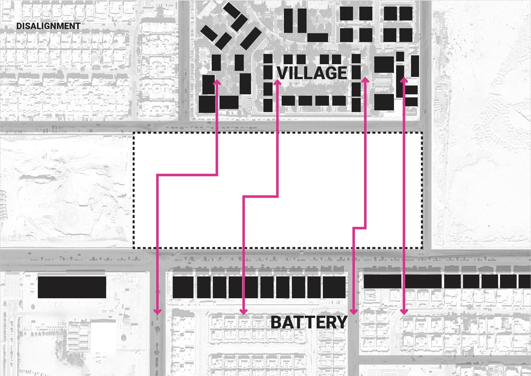
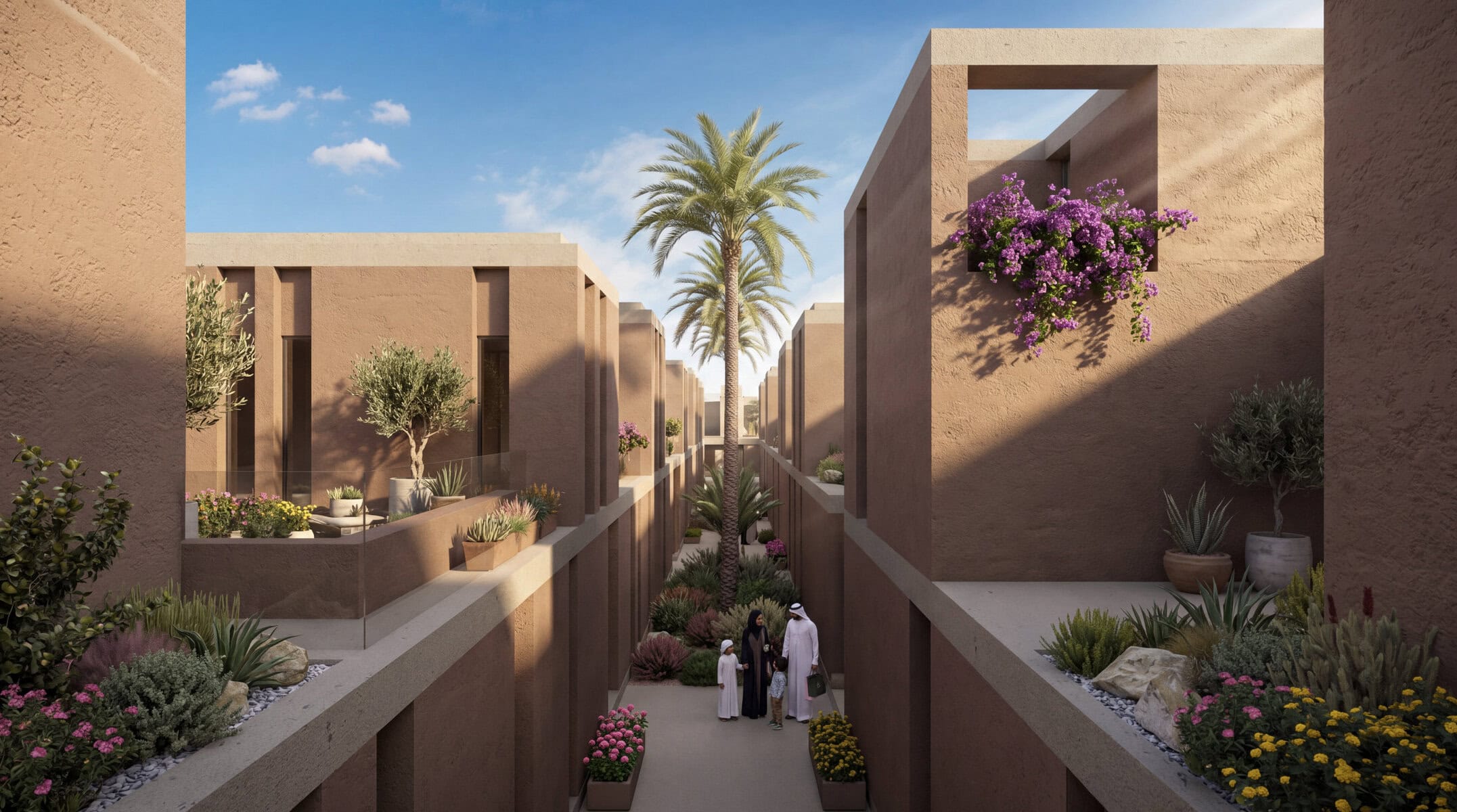
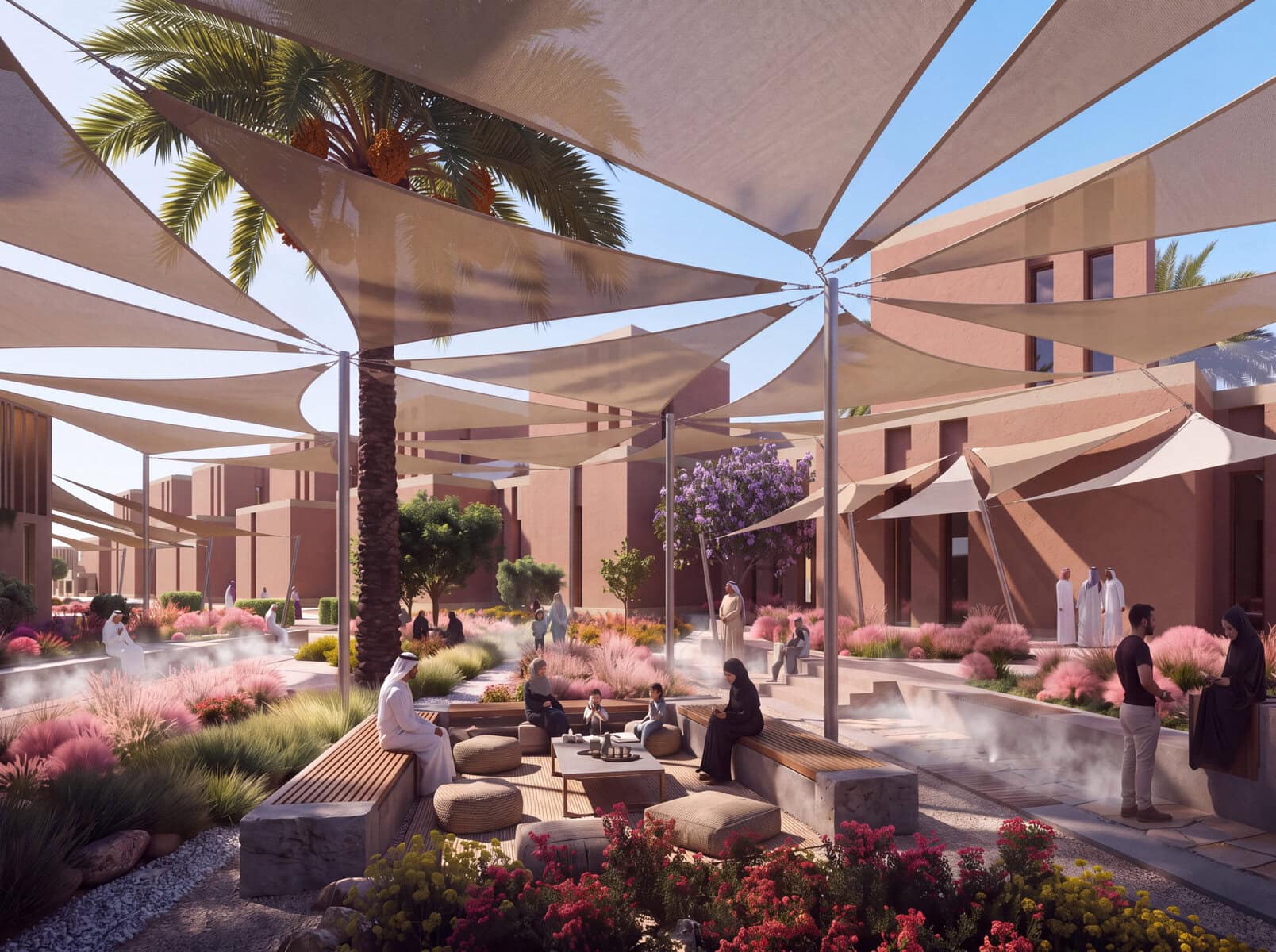
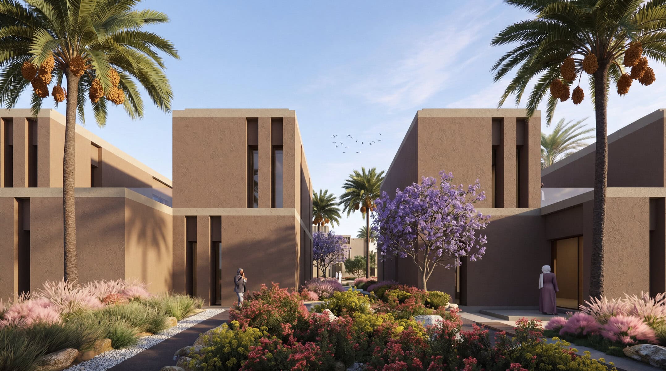
The second is offset. Buildings are selectively rotated and shifted away from the orthogonal grid to create a series of street widenings, pocket courts and shaded passages that interrupt the regularity of the block with moments of spatial relief. These offsets generate distinct microenvironments, each with different solar exposure, wind conditions and levels of enclosure — and introduce a visual complexity that prevents the development from reading as a single repetitive figure. The geometry is not arbitrary; it responds to prevailing winds, solar angles and the specific orientation of each frontage.
Cluster: Courtyard Living at Neighborhood Scale
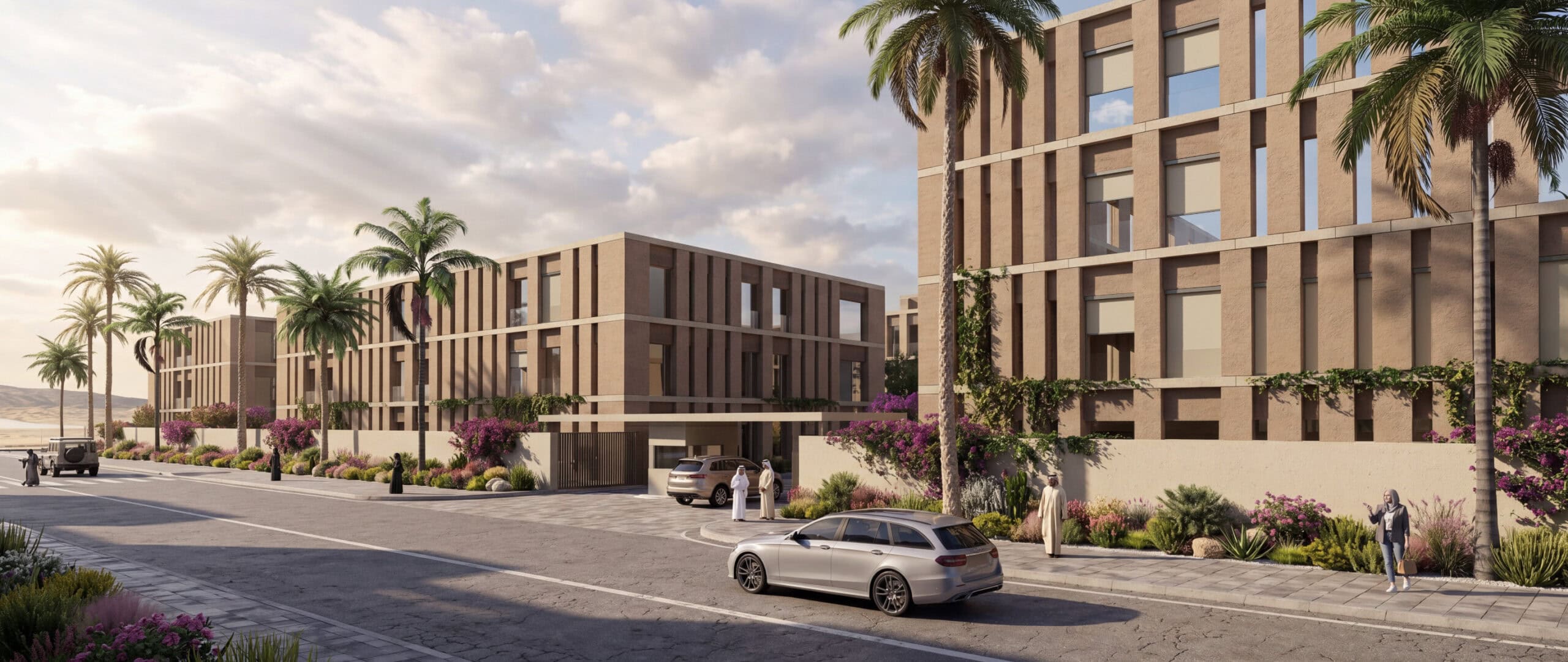
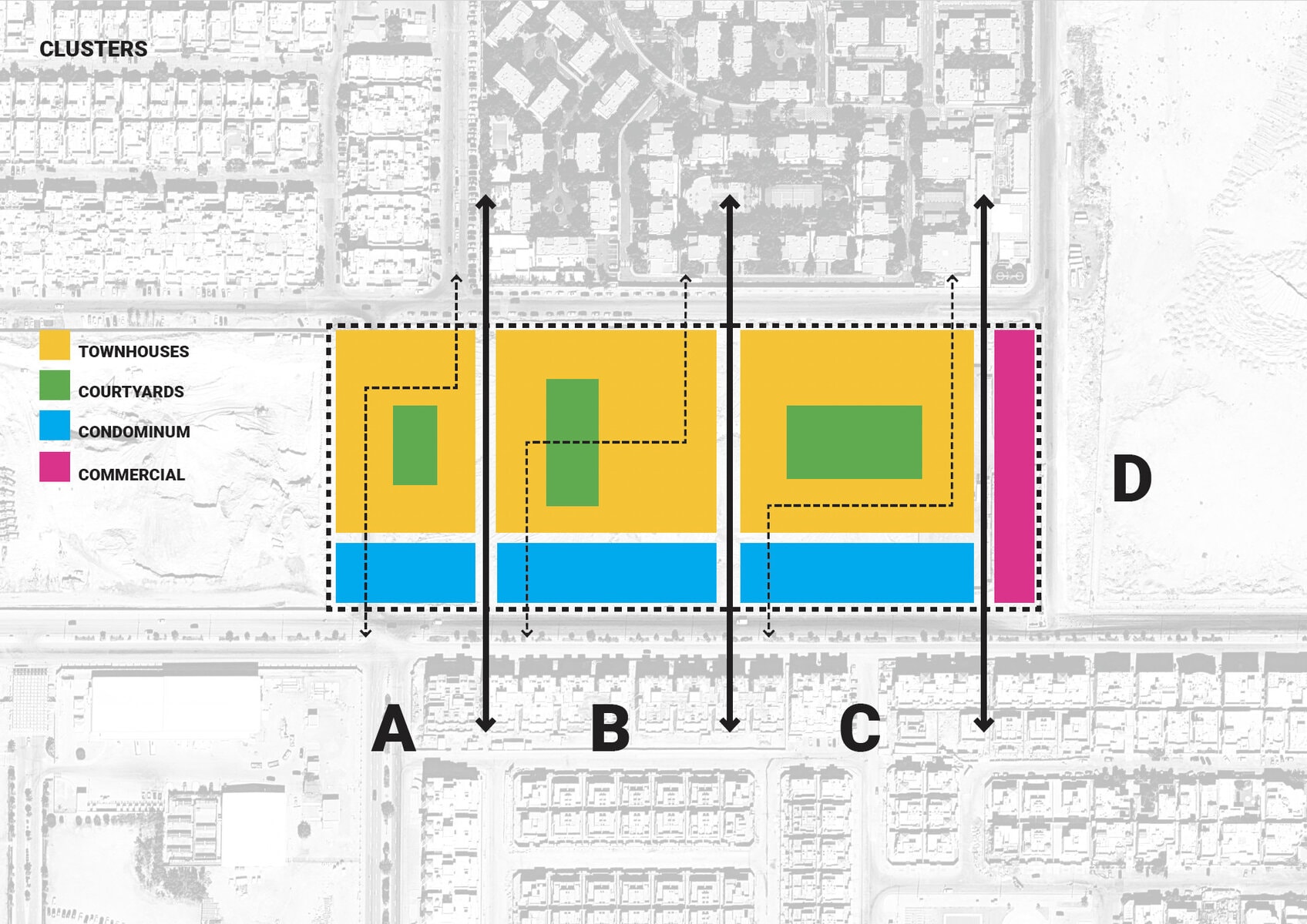
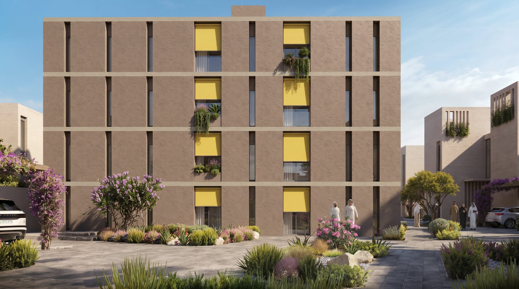
The third is cluster. The quarter is organized as a series of distinct residential groupings, each centered on a shared courtyard and identified by a clear entrance threshold. This gives the larger development a legible domestic scale without isolating its individual parts.
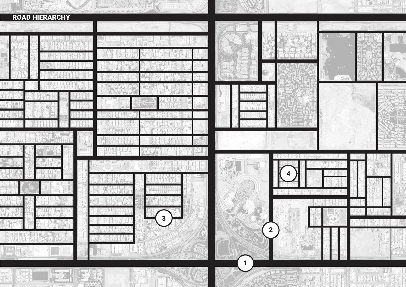
Residents move progressively from the public connector spine to a semi-private lane, from the lane into a shared courtyard and from the courtyard to the home. Each transition compresses the scale, moderates the level of privacy and changes the character of the space. The result is a sequence of environments that supports both individual occupation and collective life, an urban quarter in which the shared spaces are not residual but essential.
Density without repetition. Urbanity without the loss of intimacy. A quarter measured not by its footprint alone, but by the quality of everyday life it makes possible. See more concept design projects by Mauro Moro.
Riyadh, Qurtubah District, Saudi Arabia – 2026